 |
Applied Landscaping
|
What is applied landscaping?
“…to arrange and modify the effects of natural scenery over tracts of land so as to produce the best aesthetic effect with regard to the use to which the tract is to be put.” Webster’s 3rd International dictionary
What are some of the uses for Texas rangeland?
 Wildlife preservation |
 Watershed management |
 Recreational hunting and camping |
 Enhanced aesthetic diversity |
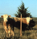 Livestock grazing |
What is involved in Brush Sculpting?
Partnerships with the Texas AgriLife Extension Service and National Resource Conservation Service will help you to be considerate of
- your goals for the land,
- the lay of the land (topography),
- the kinds of plants on your land (Mesquite, Juniper, Pricklypear, Oak, and mixed brush),
- the kinds of wildlife on your land,
- different (chemical and mechanical) techniques for brush removal, and natural ways to shape brush.
Before YOU Start YOU Must Know:
Identifying critical habitat is important.
| White-tailed deer | Bobwhite Quail |
|
|


Also YOU Need to Know:
- the kinds of plants on your land
- the plant’s value to animals such as deer and quail
- your ultimate use for the land whether it be hunting or grazing
The Brush Sculptor’s goal is never to eliminate any species of plant from a tract of land but it is to maintain or increase the diversity of plants and animals.
How do I become a successful Brush Sculptor?
All you need to become successful is:
- having a goal in mind
- sticking with the program
- aerial photos* (available from TNRIS)
- flagging tape
- a dozer operator or herbicide contractor or brush control contractor**
 Before: Before:The objective was to sculpt the site for the benifit of white-tailed deer, but consistent with livestock production. Mesquite was the major species present. Secondary species were javelina bush, agarito, prickly pear, hackberry, and chittam. |
 Sculpting Plan: Sculpting Plan:The goal was removal of 50-70% of the mesquite. An aerial photo was scanned into a computer and converted into a digital image. Using a “paint” program (many home computers come with a prepackaged paint program) a plan was designed that would leave many of the desirable brush plants intact, and would create a pattern of clearings beneficial to wildlife. Gary Foster (rancher) then used the marked image as a blueprint to direct clearing activities. |
 After Treatment: After Treatment:Mesquites less than 8 feet tall were treated with the Brush Busters foliar spray method. An average of 174 mesquites per acre were treated at a cost of $18.74. Remaining brush designated to be cleared was removed by treedozing and the use of hydraulic tree shears. |
 Step 1 Step 1Digital Orthophot Quads (DOQs) of the ranch are obtained from TNRIS. The photos are color infrared with 1m resolution. From the photo major plant communities, roads, fences and structures could be identified. |
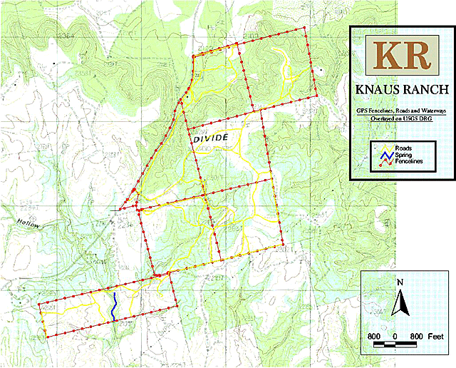 Step 2 Step 2Using GIS software, topography of the ranch was layered over the DOQ photograph. |
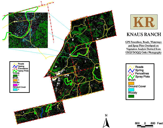 Step 3 Step 3Using GIS software to identify the target species (shinnery oak) final decisions were made concerning location, size and shape of treated areas. This information was downloaded and then transferred into the spray plane’s GPS navigation equipment. |
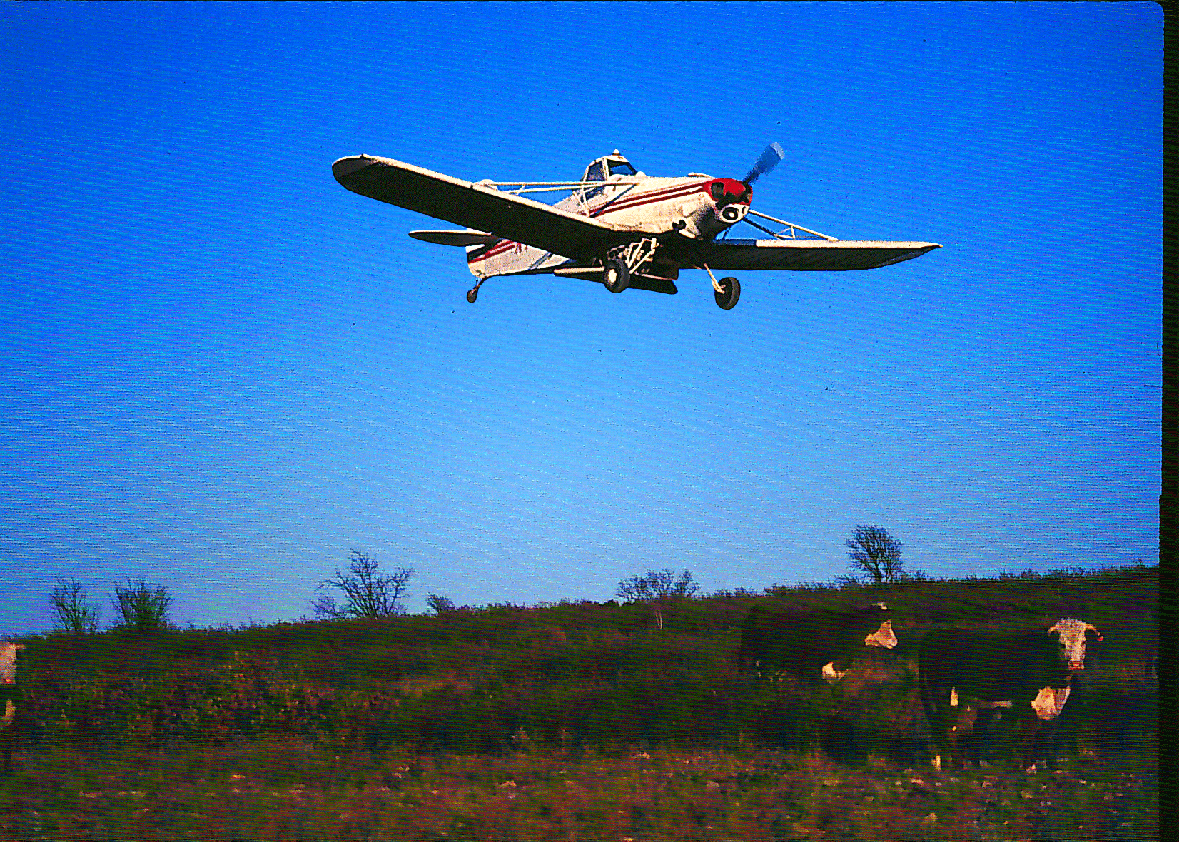 Step 4 Step 4During March 2000, a spray plane was loaded with the herbicide Spike 20p. The pilot, using GPS to guide him and the information provided by GIS, flew to the site selected for treatment. GPS was then used to guide the plane on each pass and to notify the pilot when he was entering and leaving the target site. Using no flagmen the Spike 20p was precisely placed where needed. |